← Explore the cityBRATSK / PEOPLE & PLACES

Railways & stations.

Why Bratsk has several passenger stations, how the dam connected the banks, and how to identify your terminal.

A city with several railway addresses

Bratsk developed around several widely separated residential and industrial centres. Its railway geography cannot be represented by a single terminal beside a central square. Padunskiye Porogi in Energetik and Gidrostroitel on the right bank are particularly important for passenger journeys. The station printed on a ticket determines the boarding location.

The Centre, Padun and Right Bank share a municipal history, but distance between them affects travel. Being in the same destination city does not make stations interchangeable. A particular train may stop at one, at several or follow a different route. Travellers need to check their actual service and date.

Historical descriptions also distinguish a station’s tracks and operating services, its passenger building and a stopping point. Everyday use of “terminal” sometimes merges those ideas. Here the wording follows the subject: the history of the network is larger than the history of a façade, while a practical address must match the chosen train. This distinction connects Bratsk’s unusual urban layout with the experience of arriving and departing.
Gidrostroitel and the right bank

The name Gidrostroitel—hydraulic builder—preserves the occupation around which the new city’s right bank developed. Rail transport supported construction supplies and workers’ settlements. The station helps reveal Bratsk as a network of connected sites: industrial freight, passenger journeys and residential growth were different aspects of one process.

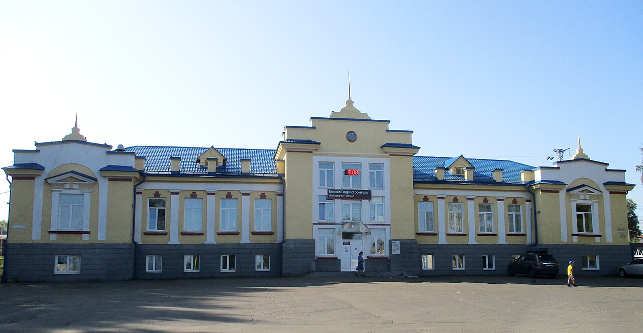
The contemporary photograph of the passenger building dates to August 2021. It records the place on a particular day rather than its appearance during the earliest construction years. Comparison with an archive should account for alterations, landscaping and changes around the station. A surviving name does not mean the square or traffic patterns remained unchanged.

The right-bank account connects the station with Gidrostroitel and Osinovka, but those names should not automatically be treated as identical places. A residential area, historic settlement and railway facility can share parts of a history while retaining different boundaries. A traveller should check the actual map location; a reader of an old document should consider the meaning intended by its author. Accurate names matter both for navigation and for understanding how the area grew.

Photographed 18 August 2021, 05:00:57. Gidrostroitel station. A later view, rather than a construction-era image.
2021

Gidrostroitel station

Photographed 18 August 2021, 05:00:57. Gidrostroitel station. A later view, rather than a construction-era image.

Andrijko Z. · Wikimedia Commons
CC BY-SA 4.0 · Original ↗

Padunskiye Porogi: Energetik’s station

The name recalls the rapids of the former Angara, connecting a present railway address to a landscape transformed by the reservoir. The passenger terminal is in Energetik; Russian Railways gives its address as 30 Mechtateley Street. It is a particular location rather than a synonym for the whole Padun district.

A new terminal complex opened in December 2012. The building’s history should be distinguished from the beginning of railway service: trains and station operations preceded the new passenger facility. In short captions, a building’s opening year can easily become an incorrect “foundation date” for the station.

For travel, check the station name and the departure time specified by the operator. A historical article cannot establish a timetable. The official terminal page provides current service information and contacts, which should be checked before a journey. Photographs can help visitors recognise a building and its surroundings, but cannot replace up-to-date platform information for a particular train. The place-name, building and service each carry a different kind of information.

How the railway crossed the dam

Reservoir construction altered railway alignments, and the dam became a transport crossing of the Angara. Stella Burykina’s letters record movement over an upper temporary trestle in July 1961. The energy-sector chronology dates trains along the dam crest to 16 June 1965. These are separate stages rather than competing dates for a single event.

The temporary route supported construction and emerging connections. The permanent arrangement formed part of the completed complex. Moving from temporary access to a lasting route mattered to the engineering history just as moving from workers’ camps to established neighbourhoods mattered to the city.

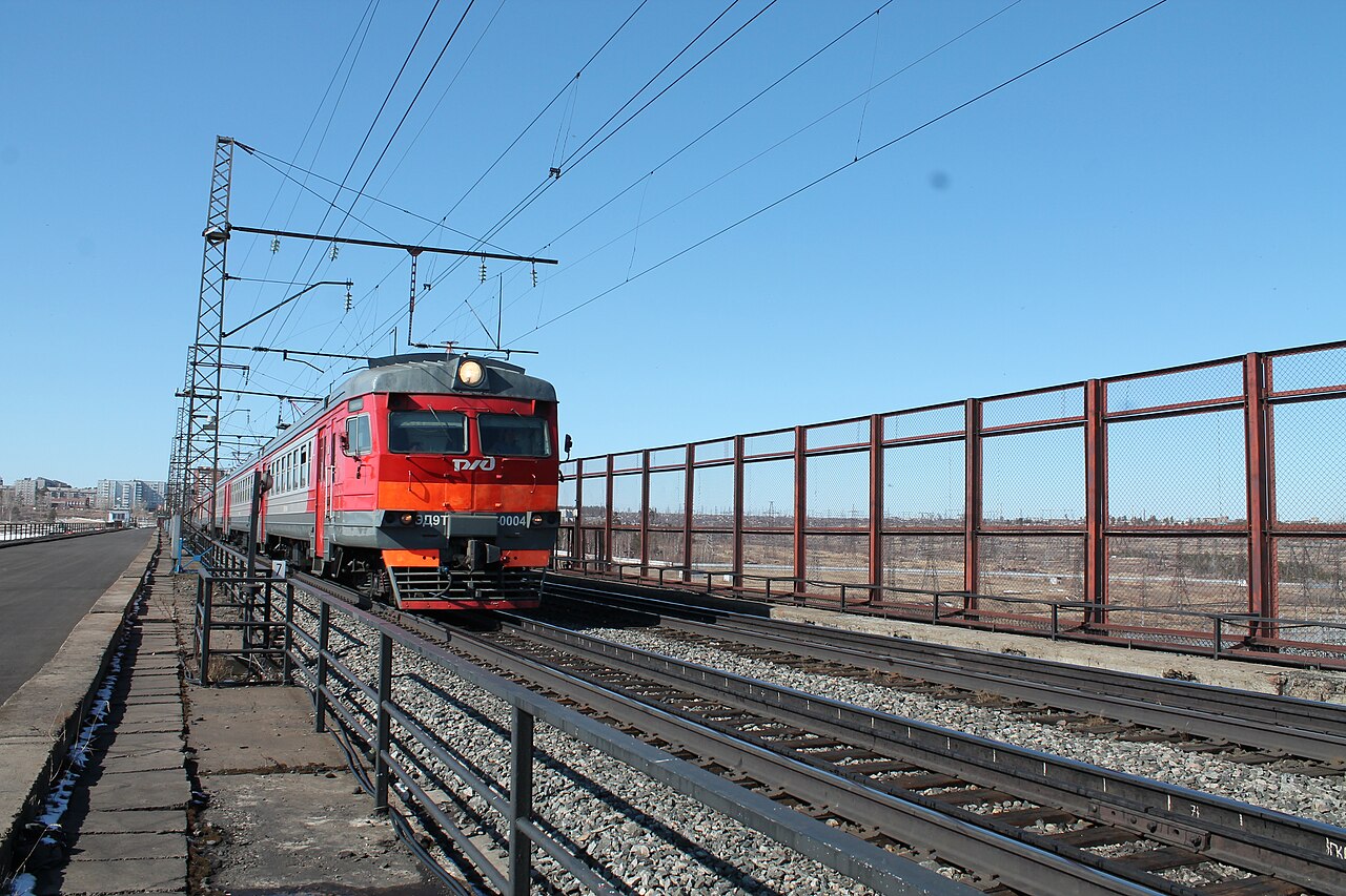
A present-day photograph cannot by itself establish which alignment was used in an earlier year. Reading an old image requires a date, viewpoint and construction context. Railway and hydropower histories meet here: the same dam generated electricity and changed travel between the banks. The hydropower section follows the engineering sequence in greater detail, while this account places the crossing within the city’s transport geography.

7 April 2016. Train on the dam crest. A later photograph of equipment and structures, rather than a construction-era image.
2016

Train on the dam crest

7 April 2016. Train on the dam crest. A later photograph of equipment and structures, rather than a construction-era image.

Сайга · Wikimedia Commons
CC BY-SA 4.0 · Original ↗

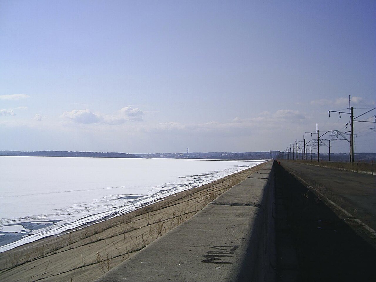
10 May 2005. Bratsk HPP, a view from the crest.
2005

The dam in May 2005

10 May 2005. Bratsk HPP, a view from the crest.

A. L. (loading) · Wikimedia Commons
CC BY-SA 4.0 · Original ↗

Useful links

Padunskiye Porogi · Russian Railways ↗

Sources & further reading

Checked on 18 October 2026. The main chronology ends in 1991; later events and photographs carry their own dates.