Bratsk, place by place.
Between its residential centres lie taiga, water and long distances. Each has its own story. Choose a part of the city, then a neighbourhood or a familiar local name.
What does “district” mean here?
“The Right Bank” is a whole part of the city; Energetik is a residential area; numbered microdistricts inside the Centre are another scale. The main selection covers twelve names from the published residential-area list. Novaya Stenikha, Sosnovy Bor and Bratskoye More have separate entries. This is a historical guide to places, not a cadastral map.
The published list of names ↗Central District.
An industrial city separated by forest: the central residential area and neighbouring communities.
Explore this part of the city ↗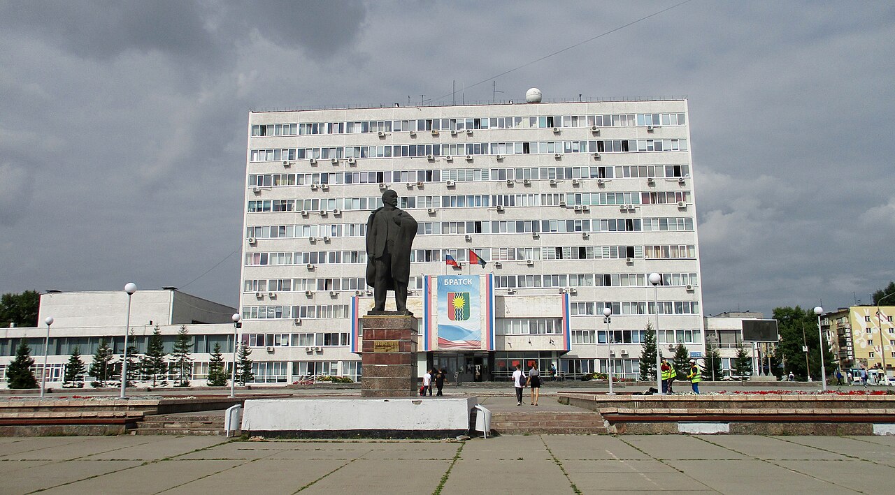 2021
2021Central residential area↗
The main residential site for industrial Bratsk.
Residential area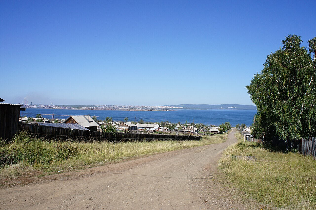 2010
2010Porozhsky↗
Resettlement, timber rafting and homes from old Bratsk.
Residential areaChekanovsky↗
A railway settlement and the history of industrial resettlement.
Residential areaStenikha↗
A residential-area name to distinguish from Novaya Stenikha.
Residential areaSosnovy↗
A distinct name within the Central part of the city.
More names on the memory map
Padun District.
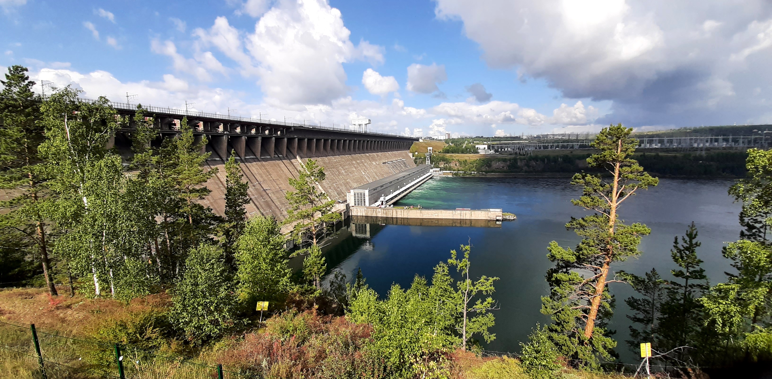
Padun, Energetik, Yuzhny Padun and Bikey: distinct histories near the hydroelectric station.
Explore this part of the city ↗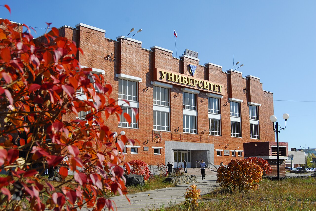 2010
2010Energetik↗
A power workers’ settlement that became an urban centre.
Residential area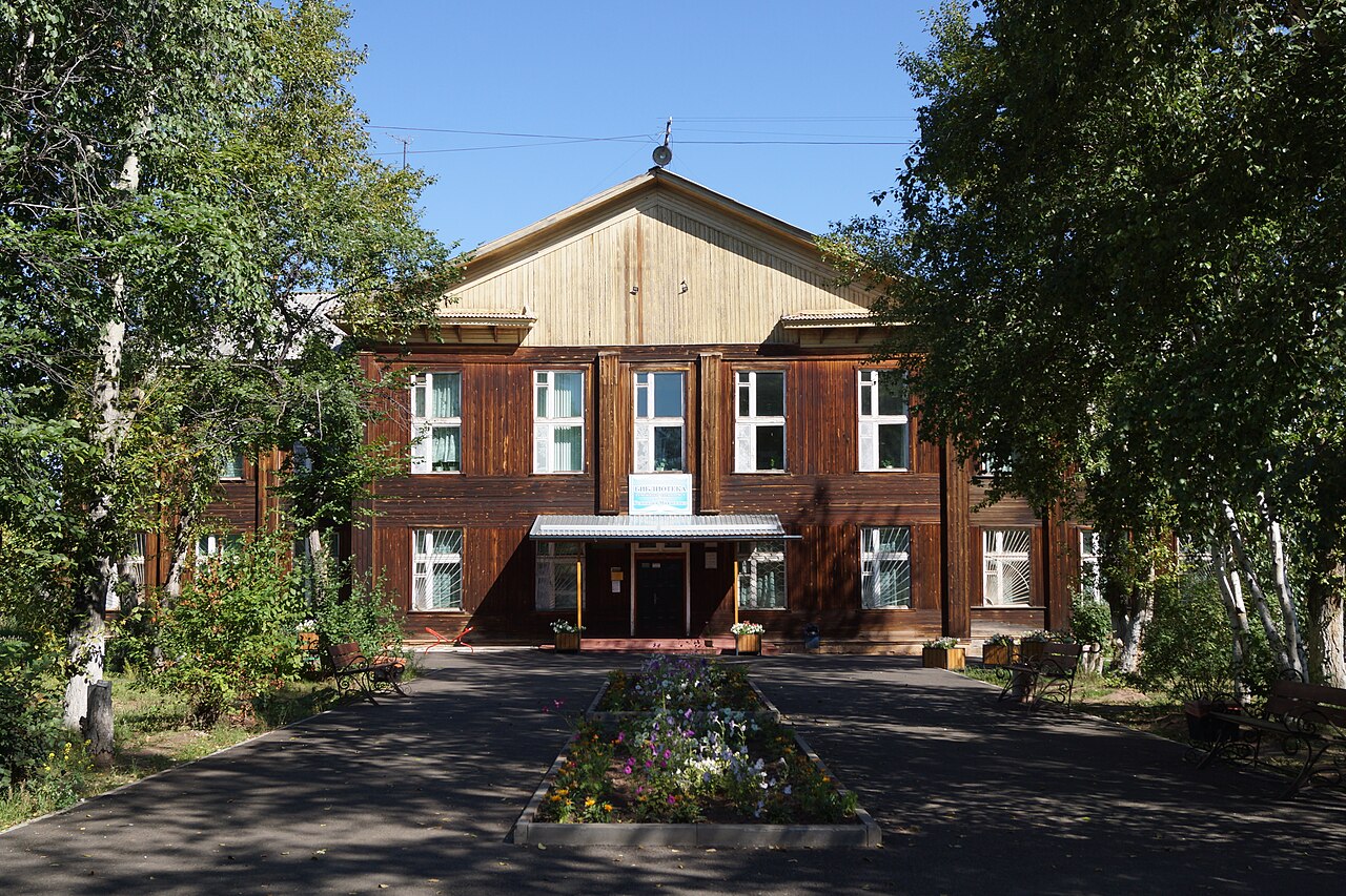 2020
2020Padun↗
A name preserving the memory of the Angara rapids and old village.
Residential areaYuzhny Padun↗
Padun’s southern extension and its railway history.
Residential areaBikey↗
Forestry and farming alongside the industrial city.
More names on the memory map
Right Bank District.
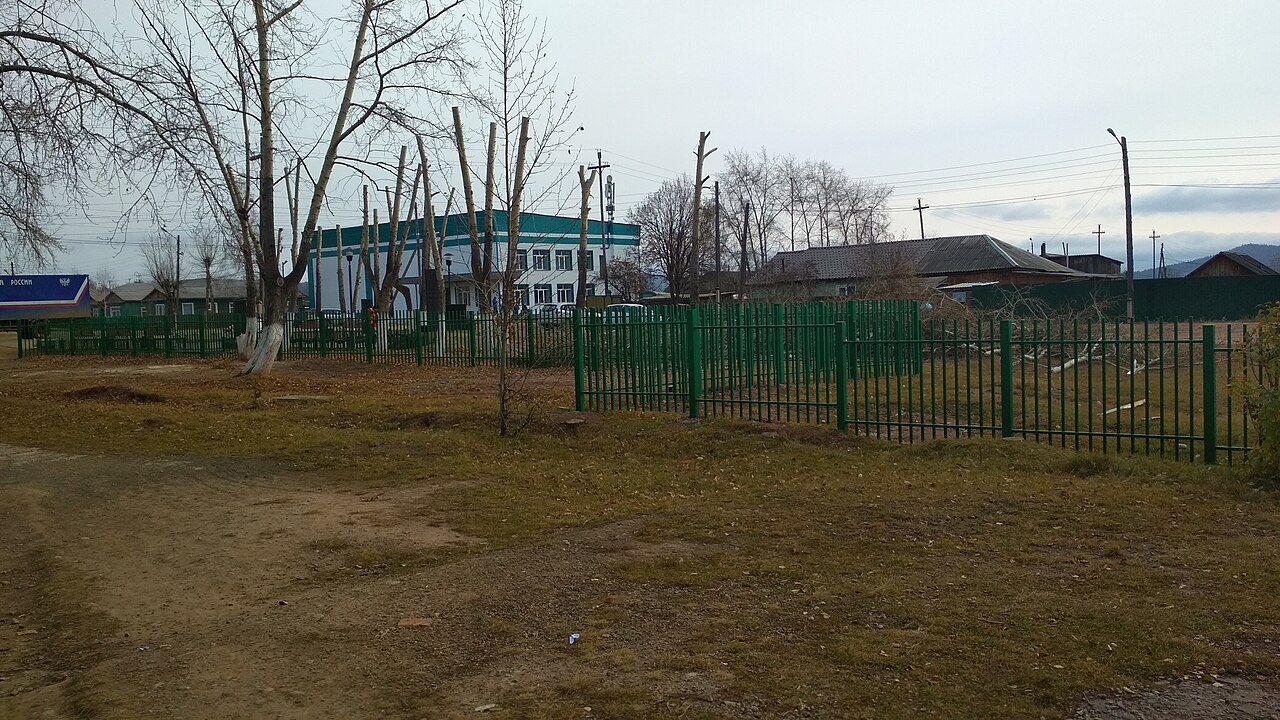
Gidrostroitel, Osinovka and Sukhoi: locally, simply “the Right Bank”.
Explore this part of the city ↗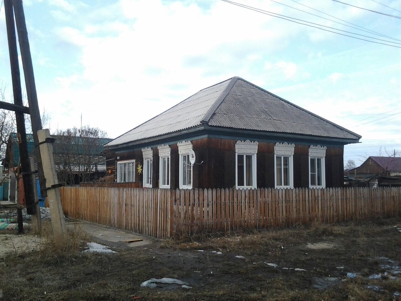
Different banks. A shared story.
Read how construction sites and separate settlements grew into Greater Bratsk.
One city from several settlements ↗Soviet Bratsk in colour and detail
Three authentic archival images of the city. Their exact addresses are unverified, so they are presented together here without assigning them to particular districts.
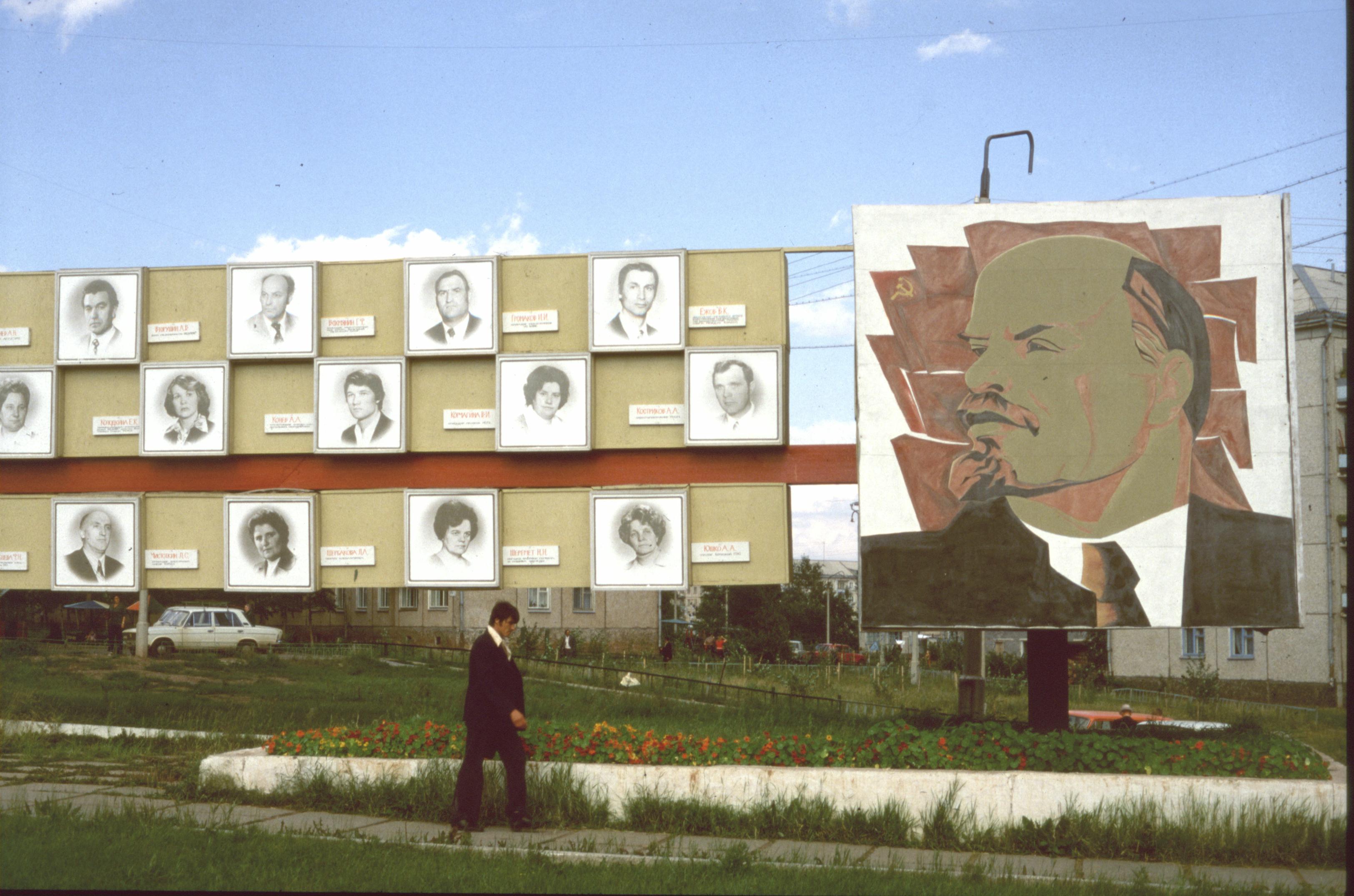
A Soviet-era honour board in Bratsk
Summer 1981. An honour board. The archive identifies the city, but not the exact district or address; this image is not assigned to a neighbourhood.
CTHOE · Wikimedia Commons
CC BY-SA 3.0 · Original ↗
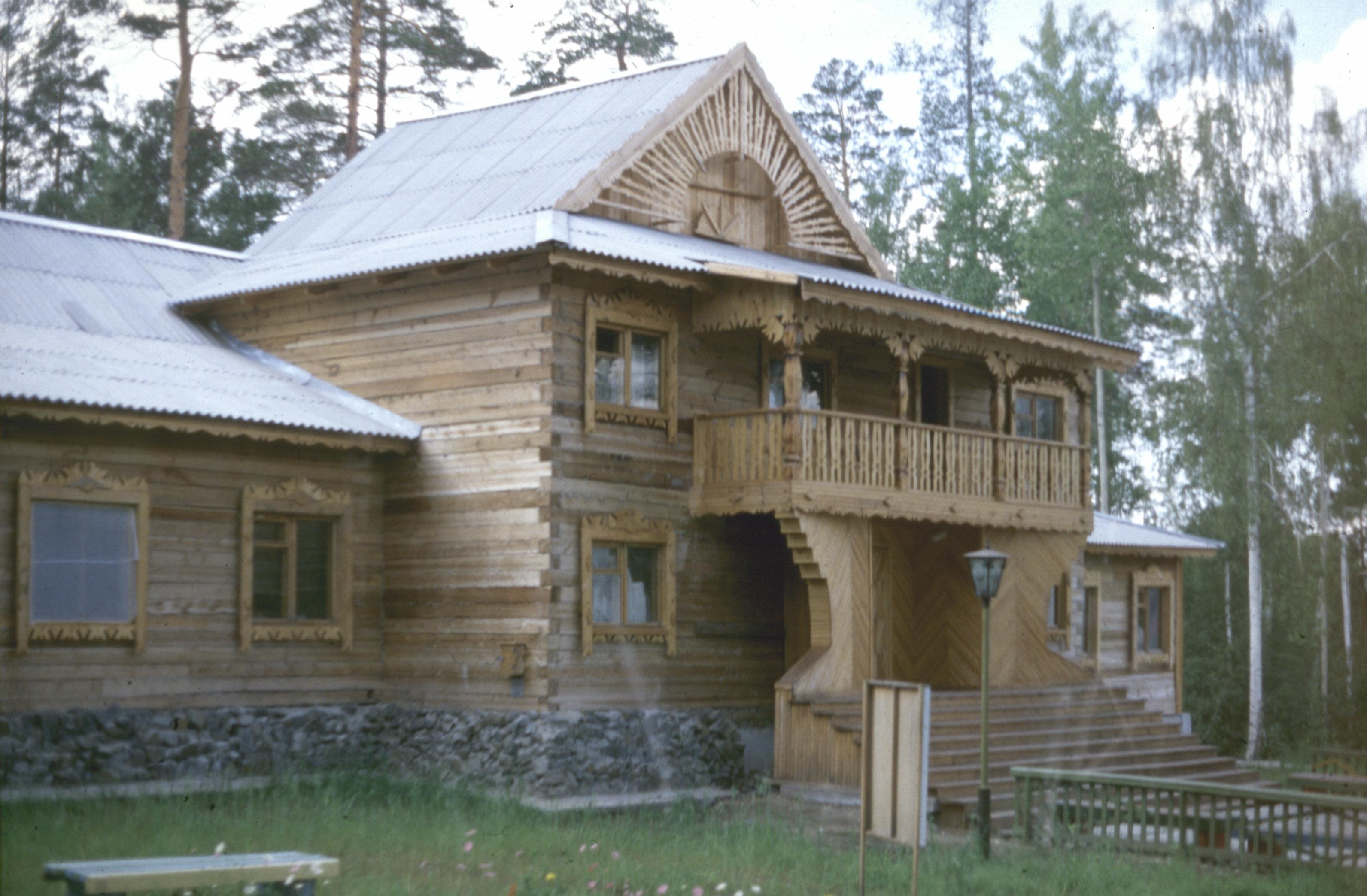
A House of Pioneers in 1981
Summer 1981. Identified by the photographer as a House of Pioneers in Bratsk. The exact address is unverified; no match to a present-day building is claimed.
CTHOE · Wikimedia Commons
CC BY-SA 3.0 · Original ↗
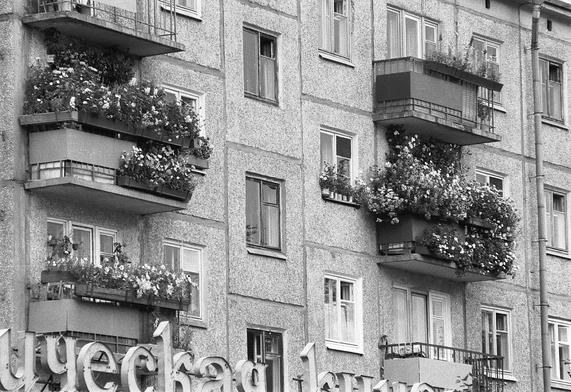
Balconies with flowers
1983. A block of flats in Bratsk, Fortepan no. 9252. The source does not name a district or address.
Fortepan / Bakó Jenő (donor) · Fortepan / Wikimedia Commons
CC BY-SA 3.0 · Original ↗